These Bay Area 9 Peaks Challenge and Open Course Triple Crown got me on a roll, just the motivation I needed to get back on my toes, after a 2-year injury hibernation. I started to catchup a bit with my blog posts but then I'm falling behind again, 2 weeks behind... It's tapering weekend, let's see if I can squeeze a few in between a 10-hour fence sealing project this Saturday and some work, always, this Sunday...
As you read form these last 3 posts, I ticked 3 peaks with the 3 Open Course races of the Triple Crown, with at least one I'd like to redo to improve (Jam on Tam).
The same Saturday as Jam to Tam (March 20), after our picnic in Mill Valley, we stopped by Slacker Hill, not even hiking from the bottom of it but starting from the tourist parking lot, what an embarrassment! ;-) I ran so many hilly miles in Marin Headlands, passed by this hill many times, and we only honored that peak with a climb shorter than a mile?! Our excuse: we had two more peaks to visit in the afternoon! Besides the challenge doesn't impose any particular course except for the three Open Courses covered in previous posts. Actually, not even imposing to be on foot to go to the top (you can drive or bike if there is a road or trails allow)!
That being said, what a view of the City by the Bay from the top, so much worth it in such a perfect weather!


From there, we drove back to San Francisco, dropped Greg and parked near the entrance of Mont Davidson. I had never heard about this hill, always thought that Twin Peaks was the highest point of the city, with its emblematic relays at the top. Well, their respective elevation only differs by 3 feet or 1 meter, that's pretty close. Although slightly higher, Mont Davidson hides its history and panorama gem very well. Even the majestic 1-3-feet (31.5 meters) cross at its top disappears in its tree line, from afar. No parking lot to attract the crowds. Little and antiquated signage at its two entrances. No fence (urban park). Again, grateful to PCTR for the invitation to visit through this challenge. Yes, with 928 feet (282m), this is the real and official top and peak of San Francisco, check it out next time you are in town!


We got back to the car by 3pm and I felt we still had time to climb Montara Mountain, further South on the Peninsula, above Pacifica. We started from the trailhead at 3:40, Agnès Nordic walking and Max and I running.
The trail to the top is straight forward. Not straight but easy to follow: you just go up. And up, and up.


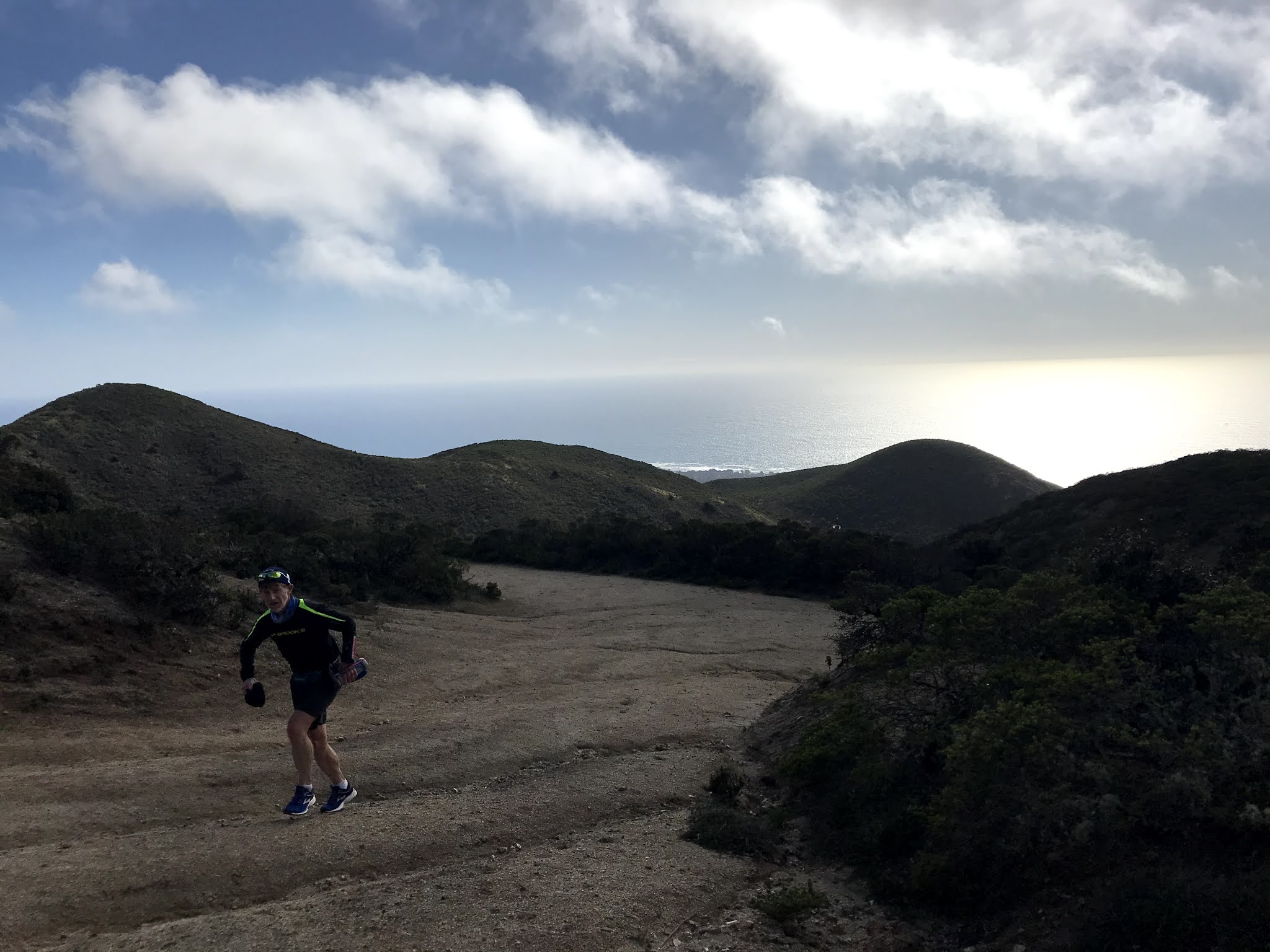
There are several tops: the one with the main relay isn't meant for the public to go around, kind of blocking what would be amazing 360-degree views otherwise. Still, you can look at the infinite horizon pretty much all around the Bay Area. And map out the other... 8 Bay Area Peaks!

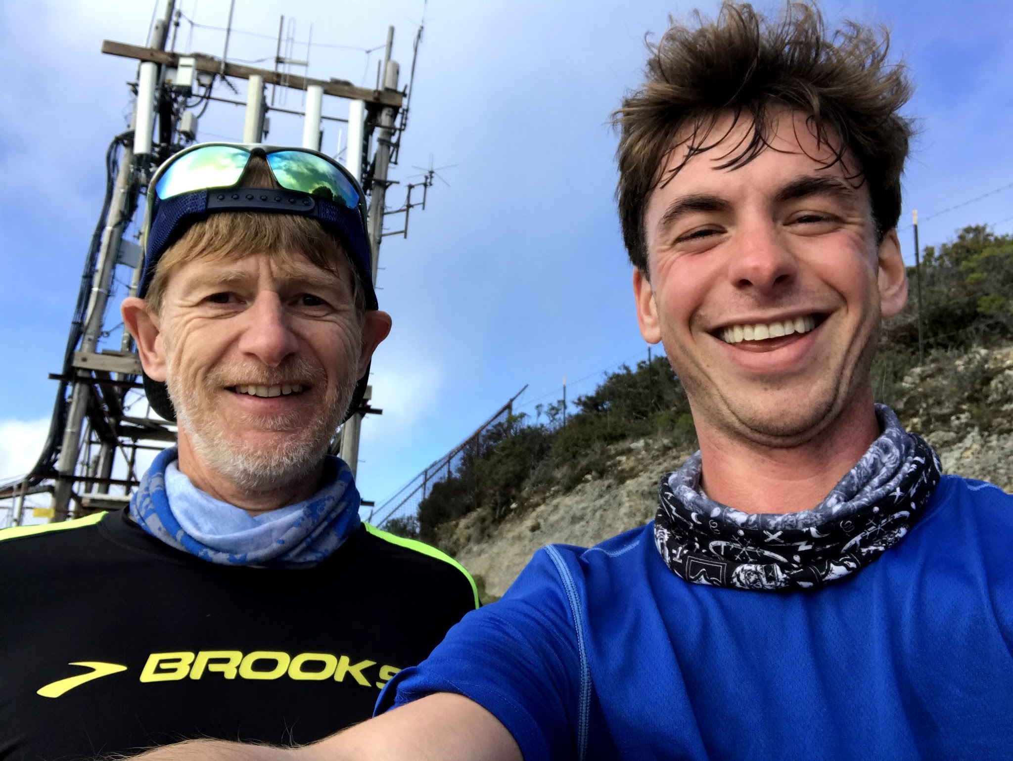

Maxime did beat me on the climb by several minutes, and stayed behind on the way down to take pictures.

I bet Agnès would have passed some runners on the way up, with her super strong power hiking.

On more 3D fly-over from Relive (click on this link or the image below):

Overall, what a wonderful day with the family: 4 of these 9 peaks checked, about 17 miles with 4,750 feet of cumulative elevation, all that around mythical San Francisco. Thank you again, PCTR, for inviting us to discover these new places so close to home! Highly recommended challenge, check it out!


.jpg )


No comments:
Post a Comment