Sunday, May 9, 2021

Mount Vaca: one more discovery for peak #9 of 9!

After Napa County and it's highest point, Mount Saint Helena on Saturday, let's move South-East to the Solano County and Mount Vaca, the last of the PCTR Bay Area 9 Peaks Challenge summits for our family endeavor. Flashback to Sunday April 11.

As I mentioned in my previous post about Mount Saint Helena, what do you find at the top of Mount Vaca? You bet, more communication relays and antennas! As a matter of fact, even civil and military ones for a change. So many that they are not accessible with a fire road this time, but a real asphalt one, even open to car traffic! That reminded me of Pikes Peak, the highest point of the Continental US which is accessible by car and train although it's above 4,000 meters! A fact which makes some people ask where the road is to get to the top of Mount Blanc, in Chamonix (I'm not kidding...)!

But, overall, and even more so than Mount Saint Helena, a climb to the top of Mount Vaca these days will plunge you back into the inferno of the 2020 Fall California wild fires, and it's overwhelming, on every side of the mountain and even hearing a few relays still powered by generators 7 months later as the power lines got severely damaged too.

Following our usual formation, Agnès and Greg power walked the 6 miles to the top, coming down on the same road, while Max and I ran the whole 14-mile loop. It was a good choice because the descent on the other side is really steep, exposed, and wouldn't be interesting to walk.

In contrast with the burnt top, the start was actually super greenery and pleasant, home of fruit trees and growers.


On the way up, we saw a few ruins of houses burnt last year, heart breaking. Let's not burn bridges as we say (this house lost its creek crossing access), a good reminder in this divided society...

What used to be the kitchen...

Even one burnt house at the bottom of the mountain, leaving a swimming pool dangling on the property, and showing the extent of the devastation in the area...

But we also noticed proofs of Mother Nature fighting back as well, more uplifting!

As we started early, before 8 am, we didn't see a single car on the way up. The road is narrow so I strongly suggest the same if you visit on foot. AllTrails has quite a few negative reviews from people who were upset with car traffic, I assume later in the day.

It's quite a steep road at times, must be a good challenge on wheels too!

At the top, you never really know if you actually reached the summit as this is more of a ridge with a collection of relays.


The one I preferred had fences down and this really cool mat which must be a launch pad for para gliders. A cool photo op spot!


The whole loop from the sky, thanks to Relive (click on link or picture below):


Et voilà, this concludes our 4-week challenge. Nothing really as challenging as the concept of peak bears, no peak covered with snow or ice, but an excellent opportunity to accomplish something as a family (but one, overseas) and discover new places, finally! For me, I had visited Mount Diablo once and Mission Peak many times, but not the other ones, at least not exactly their tops: Montara Mountain, Slacker Hill and Mounts Davidson, Umunhum, Tamalpais, Saint Helena and Vaca. I've heard PCTR is working on the next challenge, make sure to hop on the train in case you missed that one. And see you all out and up there then!

PS: I originally forgot to include the photo montages I had worked on in April...


Mount Saint Helena: peak #8 of 9

Another flashback to continue catching up with older running stories on this blog. It was on Saturday April 10, Agnès, Max and I picked Greg in San Francisco, on our way to Napa Valley first. As we had other commitments for Easter weekend, that was our last chance to complete PCTR's Bay Area 9 Peaks Challenge over 4 weeks and we were left with the two most remote ones from where we live: Mount Saint Helena and Mount Vaca.

This area is of course known internationally for the quality of its wines but, more recently, for intense wild fires as well. As much as it felt good to see Mother Nature fighting back with its Spring season, the scares of the blaze are still very much present and visible everywhere.

Numerous construction areas remind us of all the work required to secure the roads after such fires.
Mount Saint Helena, culminating at 4,342 feet (1,323m), has an interesting history. With our local strong Hispanic heritage, I always wondered why this mountain was called this way, not Santa Helena. Well, of course, the mountain had a name way before the territory was taken away from Native Americans. Back then, the Wappo tribe called this peak Kanamota, or the Human Mountain (according to Wikipedia). Then it became Mount Mayacamas. In 1841, a group of Russians surveying the area changed the name to Mount Saint Helena, and that did stick. That was to honor Princess Helena de Gagarin.

Fast forward 2021 and it was our time to conquer this very accessible summit. Indeed, like most other high points in our area, the top is home to several communication relays and antennas, constructions requiring frequent truck access and therefore well maintained wide fire roads. We parked at the  trail head.


The mile 2 marker barely survived the fire...
Rocks call for climbers!
With the lack of vegetation except for sparse trees and bushes, the ascent isn't Alpine-style, so dry and rocky already! Greg and Agnès hiked it, while Max did beat me to the summit again.


The weather was perfect, maybe not the perfect and infinite visibility, but still seeing tens of miles away.

At the top we met a group which was hiking the whole Bay Area Ridge Trail, one piece at a time on weekends, albeit not as part of PCTR's Together Relay. They were about 100 miles done, with 290 more to go, wow!

The plaque left by the Russian crew, and the traditional geodetic survey marker:


Agnès and Greg were already up high when we crossed them on our way back.


While I was holding the lead and a fast pace on the fire road, I let Max go ahead in the last mile which has a few tricky sections (stones, roots and sharp switch backs).

Under the tree line, in particular at the trail head, nature was in full bloom!


The corresponding 3D flyover on Relive:

We stayed in Fairfield for the night to get at the bottom of Mount Vaca for our next little family adventure and close on that challenge which made us discover new places!

Saturday, May 8, 2021

Quicksilver 50K Fat Ass: back to a bit of social life!

It was on race day but it was certainly not a race. Just stating this right away in case a Park Ranger wonders... Short of a permit, our official Club race got cancelled, first the 50K one in March's announcement, then the 100K in April. Like last year in May. Then October 2020...

In memoriam, and per the fat ass traditions typically happening in January or February to prep us for the ultra season, a few of us decided to get on the course. Not a group run, we were starting at random times and running alone or in tiny groups.

With that, it's not even a same-day race report, for a good change, just a same-day training run account.

I didn't want to park on the street at New Almaden and the gate at the Hacienda entrance was advertised to open at 8 am. When I arrived at 7:35, it was open and there were already a dozen cars on the parking lot. 10 minutes to get prepared and I was off at 7:45. The sun was already high but a nice breeze made the weather perfect, not too hot. The initial uphills brought back memories of our 100K start at 4:30 am, with our headlamps. With no hill and heat training, nor competition, I didn't have a precise goal other than not killing myself (phew!).

1.5 miles in the run, in the steep ascent to English Camp, I crossed Mark Tanaka who was already on his way back to Hacienda. He took a selfie of us and asked for confirmation on direction. He was about 8 miles ahead! Later, he told me he started at 6:40. At mile 1 I had passed James. I believe we were the last and late starters.

While I walked some of the steepest section in the first mile, I warmed up enough to jog the next 2 miles, up to Bull Run. At the next intersection, quite a confusing one with 4 branches, I did stop to get my phone out and check the course on Maps.me, just when Jill arrived, also on her way back from Hicks Road, another early bird starter!


Jill is a member of our club so I told her that I needed to go down to the Cemetery and, without any hesitation, she sent me with assurance to my left. After a few minutes of going down on a large fire road covered with gravel, I thought that they must have really worked on that section as it was completely different from the one I recalled. When I saw English Camp again, I realized I was on the wrong trail, dang, so long for enjoying the downhill! Adding half a mile to the 4th mile didn't feel so good. I retraced my steps now uphill, then took on the left, down this landmark that few people know about as it is at the end of a 0.5-mile out and back. Interestingly enough, 7-minutes after my mistake, Jill was still at the intersection, maybe she was looking for that Yellow Kid trail, now, one which used to be single track and super nice, but is now leveled, wide and covered with gravel too. The one she had sent me on!

The secluded Hidalgo Cemetery:

Stay on the trail!
Spanish Town, English Camp, Yellow Kid... look like quite some segregation was going on among the miners; if not racism too... I'm still hoping we will not erase this key piece of the mining history of our Santa Clara County, for political correctness sake... History happened and should remain so we can learn from it and do better!

On my way up back from the Hidalgo Cemetery, I crossed James again. Then quite a few runners coming back from the Hicks Road turnaround, another out and back section. (These two pictures from Chihping Fu.)

I circled around the parking lot at Hicks Road and went down to the road, but didn't see anyone there. My GPS was now showing 6.7 miles, instead of the 6-mile mark for the aid station on race day.


I picked up the pace on the way back to English Camp, then got super careful going down the uneven and tricky Deep Gulch Trail getting us back to the Hacienda entrance at what is typically mile 9 of the 50K or 31 (50K mark) on the 100K. I have to say it felt really good to run that section on fresh legs. I can't imagine what the 100K would have been, if it had been confirmed. And, with COVID, I must not be the only one seriously undertrained for a hilly and hot trail 100K these days...

1:34 on the clock when I got to the car, 1:38 when I left, after getting a few ice cubes in my bottles and my ice bandana. I passed 4 runners on the next climb on Mine Hill, then 2 before the roller-coaster section (Hacienda). On one of the super steep downhills, I spotted 6 runners holding each others to avoid slipping and falling. They were super cautious and blocking the whole trail, so much that I had to slow down myself and... slipped, falling on my butt. No damage, and I could feel it coming, my own fault. Once back up, I called out for some space on the left of the trail and flew by. So fast that I missed the turn to get on Virl O. Norton trail, oops, one more detour. This time, I took me less than a minute to figure out and retrace back, and fly by that group again in the next steep downhill!

Just before Mockingbird, I caught up with a group from my first and former running club, the Stevens Creek Striders. A special day for Lina whom we celebrated at the parking lot.


I stopped there for at least 10 minutes, enjoying the shade, the company, a chat with my fellow countryman Pierre-Yves, who would have directed the races with Loren. And I also indulged more ice in my bottles and my ice bandana. The next section was 10 miles, better get cooled down before hitting the heat and exposed trails.


Pierre-Yves mentioned that Mark got lost earlier and ended up back to that parking lot a second time. I really enjoyed the New Almaden trail section and its shade. I did pass two female runners on the way up to Bull Run and saw them again as I was finishing the Catherine Tunnel lollipop out and back, after a pit stop (and pee-t stop), pictures of the Almaden Valley and San Jose, grabbing 4 GU Energy blocks (oops, not recommending 4 at once! ;-) ). Oh, and 2 S!Caps! In a rare event, showing my under training, I was now 3 hours in the run and had completely forgotten to take my hourly S!Cap. I'm usually really good at that, must be the excitement of seeing friends again on the trail... I also took a Vespa Power concentrate.

This short loop is really special for several reasons. First, you get quite a view of the Valley. Second, it gives some refreshing shade before getting back on the exposed Mine Hill. Third, on race day, that's where Chuck Wilson is typically posted to monitor the course, and it's always a highlight of my race to get his encouragement. Last but not least, and quite a personal reason, Catherine is my mom's name, even more special on Mothers' Day weekend!


I eventually caught up with Mark once I got back on New Almaden after plunging down from Mine Hill on Prospect #3, one of my favorite trail for its outstanding views, giving you a feeling of flying an airplane and preparing a landing at SJC (well, I don't have a license, so I can only guess).


We run a mile together, chatting a bit, then I went ahead when I found out that Mark wasn't working or texting on his smart phone, but playing a game! Duh, no wonder he missed a few turns too, trail running requires some good attention and focus!


I was still at the table at the McAbee entrance, getting some ice from Keith and Laura, when Mark arrived. Another long stop to enjoy the small company, 8 minutes this time. Reenergized, I mixed jogging and walking for the next section up Senador Mine trail. On Guadalupe trail, I caught up with Jeff and two other runners. With Jeff, we chatted about our stroke experiences and their consequences. Jeff got a much more serious one, one year after my 2016 TIA, I'm super impressed to see him back to running 50K!


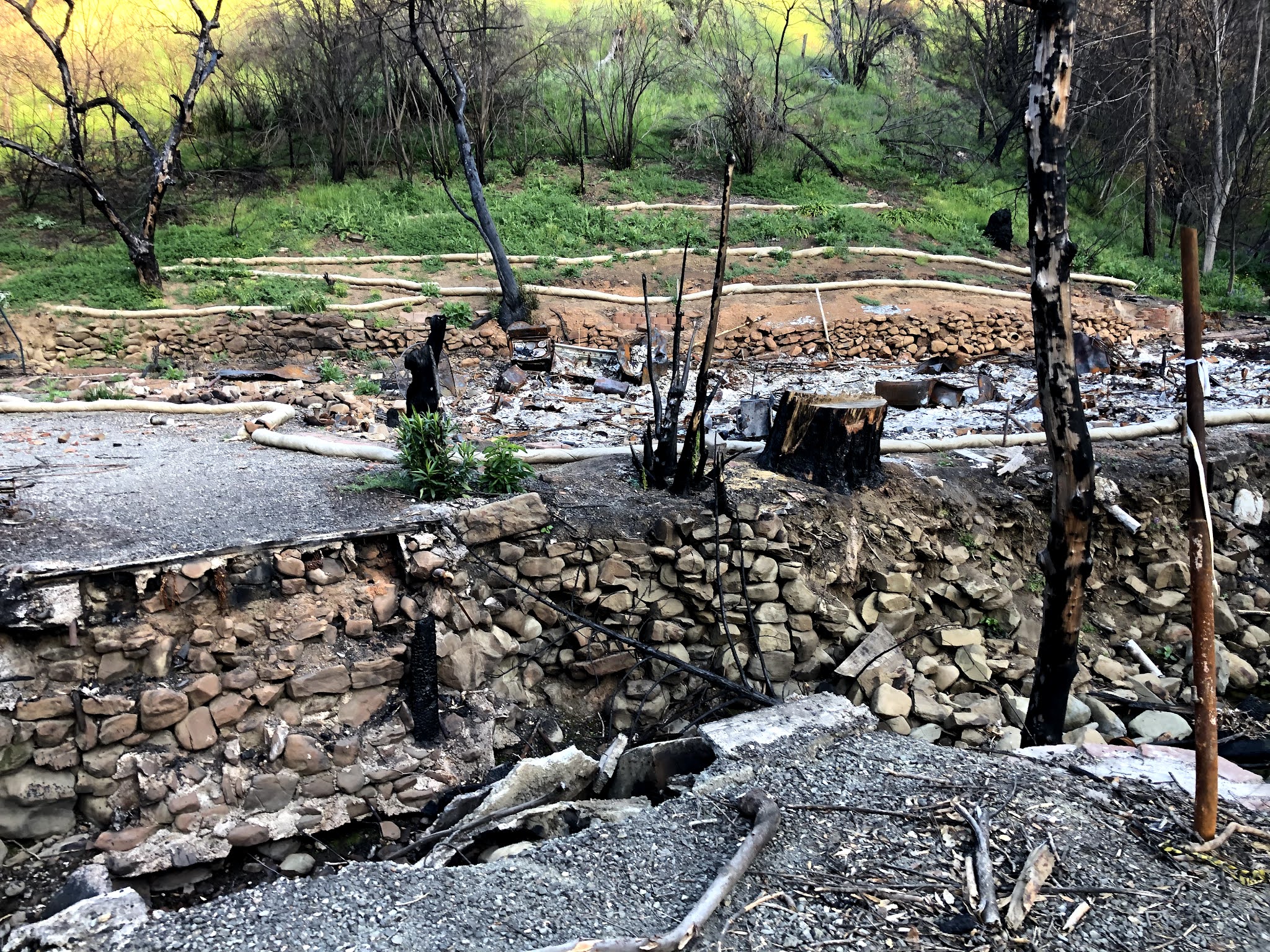
The drought is worsening... :-(

I picked up the pace on Mine Hill, thinking of the times I was able to still run it end to end, either at the end of the 50K or 100K, to battle for the podium! Without that stake today, I admit I did walk a few sections, especially on the steep Providencia detour.

I missed seeing my Striders friends who are traditionally manning the Bull Run aid station. An aid station which is only 3 miles from the finish, but strategic after such an exposed 6-mile uphill beast! Although I was feeling hot, it wasn't enough to take the risk of plunging my head in the green water of the horse drinking trough! ;-) As a matter of fact, I still had a few ice cubes in my ice bandana, so cool! And the breeze was still refreshing.

I ran the next three miles, running the official course except for the last mile where I stayed on Mine Hill to get back to my car at Hacienda instead of the traditional finish at Mockingbird. Fair to say that this is a much easier finish than getting back up the end of the roller-coaster of Hacienda. At least, with the detours, my GPS got 31.46 miles, just above 50K. 5:24:33 elapsed time for 4:55:01 of moving time according to Strava: quite far from my sub-4-hours of 2010, 2011 and 2012 (4:01 in 2014), but that could have been worse given the much different conditions. Oh, and a few more years on the life clock too! The course has changed too since.

I like the palette of colors on this chart, pretty much all across the board, speed wise.


And the 3D flyover (click on this link or the image below):


So great to get a bit of normalcy by getting back on a familiar course and seeing a few familiar faces. Finally hopeful that we are going to get back to normal racing in the second half of the year. Well, in our County at least as many other States and Counties are running races like nothing much is still happening all around. For instance, today was American River 50-mile, North of Sacramento, a race which is held the first weekend of April otherwise. And Silver State 50K and 50-mile also filled up quickly (race in Reno, NV, on May 15). But, closer to home, Ohlone got cancelled again this year. Let's not just keep our fingers crossed, let's get these shots and show love, support and appreciation for all our Race Directors!