I'm just back from an amazing 6-day tour of Namibia but I had very sparse Internet connection so here is an after-the-fact post from my run in Swakopmund, last Friday.
As you can guess from this lighthouse, Swakopmund is a seaside city on the Atlantic Ocean, and here is a large map to situate it, as well as Namibia, which is still a country that many don't know much about, between South Africa, Angola and Botswana (Swakopmund is the black and white spot in the middle of the coastline).
As for the name, Swakopmund literally means the mouth of the Swakop river and shows the very strong German heritage from this ex colony (Germany lost it to South Africa after WWI). Now, what the Germans might have not realized is the actual meaning of the word Swakop, for which I'm quoting Wikipedia (
Swakop River):
The name comes from the Khoekhoe languages of the Nama and Damara Tsoa-xaub. Tsoa means ‘excrement opening’ or ‘anus‘ while xaub stands for the ‘contents of excrement.’ This name derives from the observation that the flow of large amounts of brownish sludge in the rain with it and discharges into the Atlantic Ocean.
So, for the locals, as our great guide Gabriel pointed out, this city name sounded more like
the mouth of the diarrhea... oops!
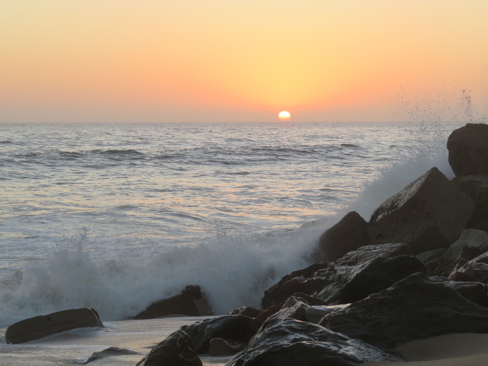
Anyway, back to running, the lady I asked for a potential long route at the front desk of our hotel said that I was in luck because there was a 20-kilometer (13 miles!) paved path along the coast, going to the North. As it was challenging to run during our group trip (2,200 km in 6 days!), this was the perfect opportunity to escape for a few hours and run a marathon! I woke up at 4:30 am and was out in the dark as it is winter down here, with the sunset around 6:30 am in July.
But, indeed, I was super pleased to find not only a paved path but a lit one, right along the alternatively sandy or rocky beaches. I told myself that even if that path was only 10-kilometer long, it was still very much worth it. However, it came to an end as I was less than 3 miles in my run, oops! I went on on the packed sand and a path resumed through a very nice park, the Paddock Gardens.
The Paddock Gardens after the fog dissipated, later in my run:
After that, no more trail but an intricate network of roads through recent and ongoing housing developments. It was so foggy in the early morning, with visibility shorter than 100 yards, that I wasn't sure which direction I was going. Luckily, I ended up on the main road, at the exit called Mile 4, which is indeed the Northern end neighborhood of Swakopmund. Because I didn't use the straight main road to get to this intersection, I had 6 miles on my GPS and decided to turn back, to avoid the dangerous traffic of C34.
I stopped by the hotel (mile 12), then went on for another round, albeit not quite to the Mile 4 intersection, so I could get ready in time for the continuation of our trip.
On my 1st way back, I experienced a phenomenon that I don't recall seeing before: a white rainbow as the fog dissipated. I was going to create a neologism for that, fogbow, but the term Fog Bow already has
its Wikipedia page, of course!
Here are other views at/from the end of the paved path (around 3km North of downtown, not quite 20 kilometers!)
A nice promenade to finish my run on:
A total of 21 miles and a nice opportunity to run, not to be missed in this busy road trip.
Relive.cc's 3D flyover animation (click on the image below, then the white arrow):
By the way, shortening my run actually allowed me to get a few minutes on the Internet to post a few pictures on
the Chameleon Safaris' Facebook page.
And win the photo contest!
More pictures of Swakopmund for the continuation of a virtual visit.


2 comments:
Hi, Jean,
Thanks for sharing! Great post and I'm impressed by your scheduling a 21-mile run within such a trip.
I stumbled upon your post looking for running spots in the city as I'm now doing a similar trip in Namibia. Your post certainly encouraged me to get the running shoes and go for that path by the coastline, though for a more modest 8km (4km North and back).
Keep it up!
Javier
Cool connection and inspiration, Javier, thank you for sharing!
Post a Comment