Now, and I'm sure we missed proper introductions: while I enjoyed two great runs during our short overnight stop on our 2,000-mile motorcycle road trip, my travel companions weren't seduced at all by this city and the small downtown in particular. In addition to nasty mosquitos, almost no life even on a Saturday evening except for a few homeless people roaming the deserted streets.
After a long stage coming down from Chemult, OR, with a detour to get to Crater Lake due to the North access road still closed after so much snow this year, I was eager to get my legs moving. Checking the map I saw two green lines starting off Main Street, bingo! One was a straight line called "OC&E Woods Trail", the other was following that famous A Canal. I went on the latter for an evening run, and the former at dawn the next morning (next post).

After more than 5,000 feet of elevation on my run on Mt Hood 2 days before, this one was remarkably flat. As you might expect from running along a canal, and despite Garmin GPS watches exaggerating the cumulative elevation, Garmin Connect reported a total ascent of 52 feet for 13.2 miles. Definitely flat!
Furthermore, after the challenging run in the snow on Mt Hood, that run started really smoothly, with a good layer of asphalt for... the first 4 miles. At that crossing with Homedale Road, the trail or bike path officially ends but I could see a service road continuing along the canal.

After a few more mosquito bites while checking Google Maps, I continued for 2.5 miles. The trail was still going on but I had to come back to my crew before sunset so a half marathon will have to do. From the satellite view in Google Maps, it seems like the service dirt road keeps going for many miles, in case you want more!


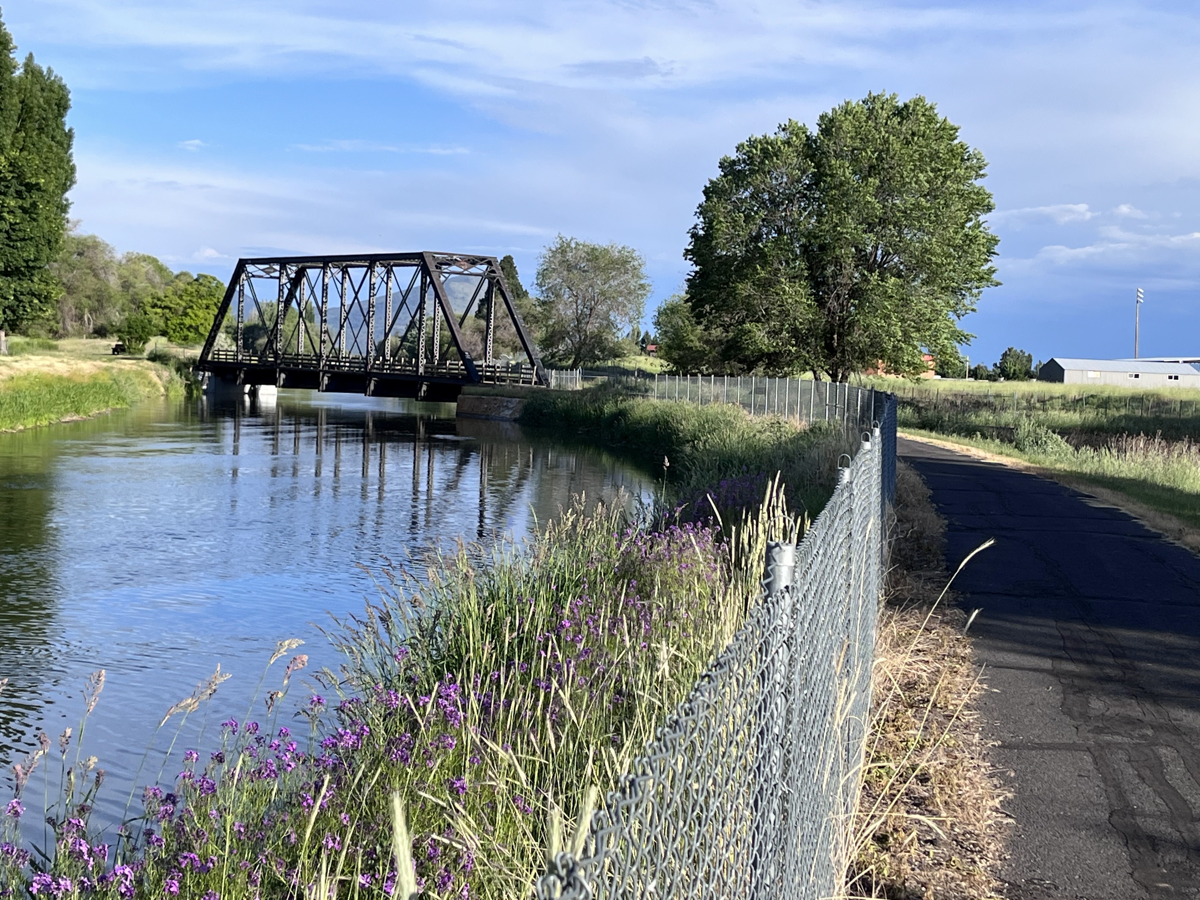
About 3 miles on the asphalt bike path, you cross the other great running path, the OC&E Woods Trail, at this steel bridge built in 1898!


Including a short video clip of three bold young male deers a few yards from Main Street. When I mentioned that downtown was pretty much deserted...
Again, not sure what else you'd be in Klamath Falls for, except if you live there, or stop during a road trip. But a great opportunity to log some flat miles if you visit!


No comments:
Post a Comment