Staying at a B&B just a few miles North West of Fort William, I started by climbing to the top of Ben Nevis, about 10 miles out and back from the Glen Nevis visitor center. There is certainly nothing technical on the main route which is actually called the Tourist Path or Mountain Track, yet it's quite some slope to climb from sea level to 4,400 feet in less than 5 miles! The trail is quite rocky, alternating sections with large rocks and others with small lose and sharp rocks.
The climb actually corresponds to a race, each September. The course record for the out and back (not sure if the race starts at the visitor center) is 1:25:34 for the men and 1:43:25 for the women!! I wasn't racing of course, yet I did sweat a lot despite making to the summit in 1:35 plus about an hour to run back... Yet, even with this pale performance, I passed many many people on both ways!
Here are 4 shots taken by Agnès who climbed Ben Nevis too, despite her hip issue (which made the descent even more difficult for her...)!


After this great warm-up (it was chilly at the top but very sunny otherwise), I continued on the West Highland Way toward the South, on the Fort William-Kinlochleven segment. This trail too is the course of a trail ultra marathon race, in June. The 15-mile section I ran had everything from some asphalt while going through Fort William and Kinlochleven, to smooth fire/forest roads, to very narrow single tracks and quite a few miles of exposed and very rocky jeep roads. I didn't see any other runner but quite many hikers including a few with their fully loaded backpacks. I'm in awe with this way of traveling for several days, I so much prefer to run without carrying anything. Yet, as I had left with only a chocolate bar and 2 small packs of GU blocks, I ran out of energy, hit the wall and wished I was carrying more myself... With that, I was relieved to find a Co Op food store in Kinlochleven to refuel after these 28 miles and 6,250 feet of cumulative elevation. Also glad that I got enough coverage there to text Agnès to pick me up (needless to say, there isn't any GSM coverage between Fort William and Kinlochleven so you are on your own on the trail, except for a few fellow hikers and many sheep).
Here is a large map of Scotland to situate the run:


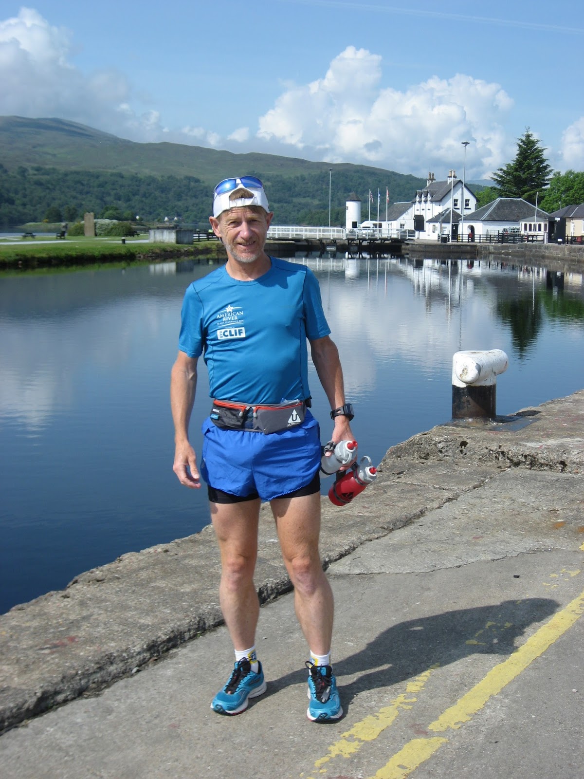
And a few more pictures (my camera stopped working at the top of Ben Nevis due to the humidity of the cloud at the top and/or my sweat...).
The first locks of the Caledonian Canal in Corpach


No comments:
Post a Comment